
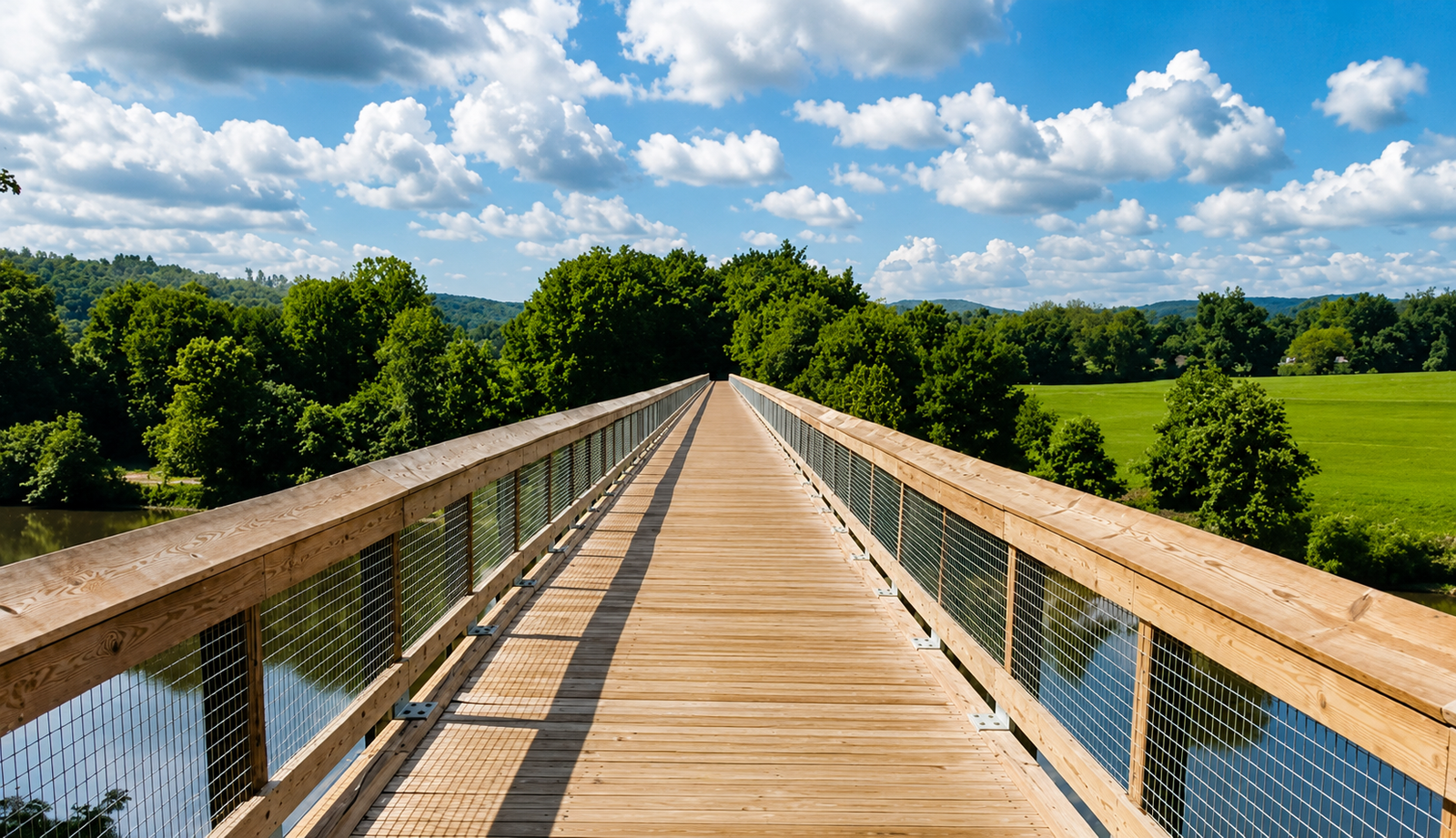
Take a Day Trip to The New River Trail
Explore 57 miles of rail trail through the New River Valley in southwest Virginia, with the Town of Fries as your base camp.
Why visit The New River Trail State Park?
Enjoy the one-of-a-kind beauty of Southwest Virginia as you wind along the New River, across historic trestle bridges and through stone tunnels. You might begin with a short nature walk, plan a half day by bicycle, or use the Town of Fries as the starting point for an overnight fishing or nature photography retreat. This guide is here to help you understand the route, choose an access point, and make the most of your time outdoors. NRT is an independent website created to promote and support visitation to The New River Trail State Park and the surrounding region. *For current park updates and happenings, visit the Official Virginia State Park Website:
New River Trail State Park Official Site
About the Trail
The New River Trail State Park is an easy day trip destination from Winston-Salem, Greensboro, and Charlotte, NC. The rail-trail winds through the scenic New River Valley for hiking, biking, horseback riding, tubing, fishing, canoeing, camping and more.
Fries, Virginia is one of several access points. For route details and activities, see the trail guide and the things-to-do page.
57 miles
Easy to Moderate
Crushed limestone
Spring & Fall
See the Trail in Action
A bike ride on the New River Trail from Fries, Virginia.
Video credit: Blaine Fuller
Explore the New River Trail
Zoom in to see trailheads, access points, trestle bridges, and points of interest along the full 57-mile route.
Who the Trail is Here for
The trail is available to anyone who longs for an outdoor adventure.
Where to Start
Read the trail guide for route and access details, or learn about Fries, Virginia at the trailhead.